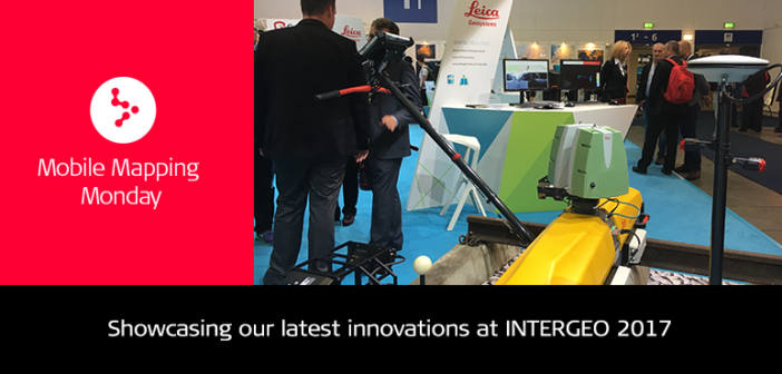
 Hexagon Geosystems was present at INTERGEO 2017 and showcased its geospatial and construction portfolio in Berlin, Germany. Attendees could find out more about several solutions, such as mobile mapping, asset collection and management for geographic information systems (GIS), airborne sensors and UAVs, photogrammetry, remote sensing 3D laser scanning, GNSS, utility detection and construction project controls and construction progress documentation.
Hexagon Geosystems President Juergen Dold provided an opening keynote 26 September exploring the need for businesses to transform from efficient digitisation to connected digitalisation for continued progress.
Mobile mapping latest innovations
At Hall 1.1, Booth A1.024, Leica Geosystems latest innovations were on display for hands-on demos and experts answered questions. Solutions featured at the booth included:
SiTrack:One rail maintenance solution


The Leica Pegasus:Backpack is designed for rapid and regular reality capture while Leica Geosystems’ Pegasus:Two and SiTrack:One digitise highways and rail networks.
It was a great opportunity to present our technology and show how user-friendly, flexible, and cost- and time-effective the mobile mapping solutions are and discuss the possibilities. We would like to thank all our speakers and participants for these three very interesting conference days.


