Richard Ostridge, Senior Application Engineer at Leica Geosystems has produced three new “How-To” videos for data flow from Leica Captivate into some “local” surveying and engineering software packages.
Richard, can you tell us a little bit more about this?
Certainly, within Leica Captivate is a fantastic way of performing coding and linework – this is the term we use to refer to the process of measuring and identifying point or linear features in the field, such as trees or fences, and then representing them in a map or drawing (click here to read a previous blog on coding and linework)
But of course it is no good having a great way of performing coding and linework in the field if you cannot then bring this rich data into an office software which also correctly recreates the points and linear features as they were measured in the field. This is often referred to as field-to-office data flow.
We have already produced videos for some of the larger multi-national software packages, such as AutoCAD Civil 3D and LISCAD. But within individual countries there are often surveying & engineering software packages which are used predominantly within those countries – if you like, “local” software packages. Any data which was surveyed in the field needs to be imported into these packages. But typically, due to the history of the development of these local packages, the data format which is required and can be imported is different between all the local packages, – especially when data becomes complex with coding and linework.
Leica Geosystems works with the producers of each of these local software packages to identify the best way to import from Leica Captivate into their specific software, once this process has been defined, the best way to inform customers how to import data is to make a video – hence these videos.
So for which software packages do these three videos show the best way to import Leica Captivate coding and linework?
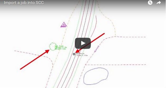
These three “How To” videos show how to import data into three large surveying and engineering software packages in United Kingdom and Ireland.
1. The n4CE software from Applications in CADD Ltd.
2. The LSS software from McCarthy Taylor
3. The SCC software from Atlas Computers
Are you also working with other countries?
Yes, of course. As Gorka Santamaria wrote in his blog article about data flow, we currently have a list of around 300 registered software partners worldwide, with which we regularly work with. The “How-To” videos above are simply an indication of what has been achieved in one particular country.
So you continue with other “local” software packages in other countries?
Absolutely – a complete data flow between office and field is critical to get the most out of both, the field software and the office software, and ultimately improve the productivity of our customers.
What about other types of data, such as images and MultiStation point clouds?
These first videos were done using data that has been collected using coding and linework that is relevant to everyone collecting data with Leica Captivate, no matter what instrument they are using. However, that does not mean it only works for coding and linework data, as it is no problem to add images and point clouds to the data flow as well. In the future we do plan to produce videos showing how these specific data types are imported to multi-national and “local” surveying and engineering software packages, too, so watch this space and keep an eye on the blog to hear.

Richard Ostridge, Senior Application Engineer at Leica Geosystems


