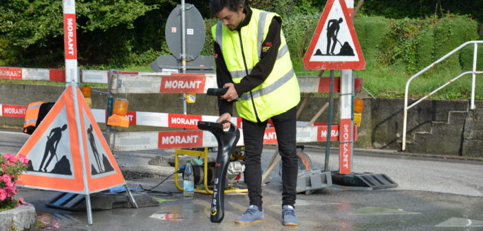
Uncovering underground utilities requires the use of different methods and products to fit different situations. There are variety of technologies which can be used for underground utility detection. As each technology has its own advantages, the best solution is always the most flexible one. The two leading technologies being used for non-destructive utility detection are: Electro Magnetic Induction (EML) and Ground Penetrating Radar (GPR).
Both technologies are affordable and can be applied using relatively small and light products without risking human health.
Leica Geosystems offers utility detection products that use both technologies. How to choose which technology or product depends on the application and the utility types. The decision criteria for choosing the right detection product is:
- The material of the utility
- The inside of the utility (hollow or not)
- The purpose of the detection.
If your purpose is to detect underground power cables or a specific power cable you need to use an Electro Magnetic Locator. In most of the cases, power cables are the hollow utilities that makes excavating difficult. Damaging power cables is not only expensive but, more importantly, is very dangerous. If the purpose of the detection is to avoid cable damaging during excavation, an avoidance EML would be the best option as it is easy to use and practical. Leica Digicat series provide fast and accurate cable location and make the detection easier with state-of-the-art digital signal processing.
If the purpose of the detection is to track a cable over a long distance to map it, the correct product would be a Leica Ultra. The compass on the display guides the user to locate the power cable and gives the direction of it. Leica Ultra can also be connected to Zeno 20 GIS Collector device for precise positioning of the cables. Using the Leica DX Manager Mapping Software, the cable locations will be uploaded to the cloud and can be analysed in real time in the office. With Leica Ultra, Zeno 20 and DX Manager Mapping, users can locate and digitally map the underground assets fast, precisely and efficiently.


What about non-metal utilities such as fibre optics, plastic and concrete pipes? In such cases Leica Geosystems offers the Leica DS2000, a utility detection radar. For avoiding utility damages or digitally mapping utilities for planning, the DS2000 is the correct choice.

The DS2000 can be connected to Leica Geosystems’ positioning products such as a GG04 GNSS Smart Antenna for precise positioning of utilities. With DX Manager Mapping, user can send the acquired data to the office and data can be post processed by using DX Office Vision. This solution gives the right tools to the user to convert GPR data to digital map in an efficient and fast way. Even less experienced users can use DX Office Vision to finish data interpretation in the office.
If a user comes across complicated situations like multiple underground utilities, the utility types must be identified. Users can use Leica DS2000 and Ultra on the same site and merge the data with DX Manager Mapping.
When it comes to utility mapping, Leica Geosystems detection solutions combined with Leica Geosystems positioning solutions supported with our software solutions enables utility surveyors with the right product to accomplish their job in an efficient way.
Written by Anabela Ferreira Fernandes, Marketing Communications Manager at Leica Geosystems


