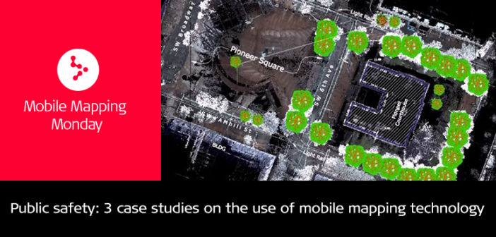
Mobile 3D data capture, modelling, and processing technology has significantly improved in the last years, allowing it to become more relevant and recognised in new application fields across several industries. One of those industries is public safety and security.
Safety and security challenges must be presented in a different light when visualised and analysed in 3D, opening new opportunities for national and local authorities to provide safe environments for their citizens. A well-organised public safety authority relies on its departments working together to collect, share, and analyse data while providing scenarios and solutions to city authorities and law enforcement to make informed decisions.
In recent years, we have seen major developments on how data captured by mobile mapping systems has been used for the following applications:
- Situation analysis
- Incident visualisation
- Damage assessment
- Viewshed analysis
- Evacuation route planning
- Crowd control planning
- Special events planning
- Pattern recognition
- Pre- and post-event comparison
Below, we are showcasing three typical scenarios where the use of wearable mobile mapping technology, namely the Leica Pegasus:Backpack, has enabled faster and more comprehensive 3D views and analysis of a target area, specifically for disaster management, evacuation route planning, and special events planning.
Disaster management
When disaster strikes, authorities need to analyse the situation in the first hours of the aftermath to understand the extent of the damage, avoid further damage, and keep affected people safe. When the areas get evacuated, first responder need to access the area. In order to get a complete picture within a short time frame, they use mobile mapping solutions to swiftly capture photos and collect point clouds to ensure every detail is documented.
Authorities use the data to investigate and measure the damaged areas, and track the relief actions and reconstruction progress. One of these cases was on July 8, 2015, when an EFS 4 tornado struck the Brenta River area of northern Italy. A famous feature and UNESCO World Heritage Site, the Venetian Villas, was severely impacted, scattering them along the river region. Read how T&T Service surveying firm supported the authorities of Pianiga, Dolo and Mira with their recovery work.
Evacuation route planning
Evacuation route planning identifies routes to minimise the time of evacuation. However, with the growth in population, more commuters are on the move every day; and, with the expansion of transportation networks, the need for better planning increases. Effective evacuation routes in man-made or natural disasters gain importance and are a priority of security staff. Specifically, in underground transportation networks with capacity constraints, having a solid risk analysis and a corresponding evacuation plan is critical. Part of the evacuation plan are effective measures for route planning, crowd control, and viewshed analysis.
Our team conducted a demonstration on how to capture, process, and evaluate data above and below ground of one of the busiest underground stations in central Berlin. The team used the Pegasus:Backpack to collect the data and create a 3D model with augmented information for scenario planning. Watch the video or read his blog post on Evacuation route planning in Berlin’s underground U-Bahn and adjacent city streets to find out more.
Special events planning
Large events need special attention when it comes to security. Authorities require fast and flexible tools that can capture and analyse geo-referenced panoramic images synched to a point cloud indoors, outdoors, and underground. The data is used to create 2D and 3D location diagrams for pre- and post-event analysis and planning. These diagrams help to evaluate obscured areas, create a viewshed analysis and virtual reality scenes for training. These models also help to plan and station assets during a mission and assess post-event damages for insurance purposes.
For the risk analysis and planning of a demonstration, our team used the Pegasus:Backpack to capture the entire site in 20 minutes, process the data in 30 minutes and deliver a point cloud of 70 million points and over 700 images. These types of capture are ideal for meetings of world leaders such as the G20 or G7 summits.

Should you be interested in our range of Mobile Mapping Solution for public safety, city mapping, transportation, railways and utilities, don’t hesitate to contact our team at m3d@leica-geosystems.com and request a demo.


